Since we started to plan our sailing adventure, we wanted to find a way to add a dimension to our trip, besides “just sailing and travelling”. Finding the cause was not too hard, as the captain has spent many years working at sea, and has over time witnessed the huge degradation of the marine ecosystem.
Finding a way to actively contribute to the cause, has not been trivial. We searched quite a bit before we found an organization we could get involved with. We discovered The International SeaKeepers Society , which has a number of projects where boat owners can volunteer their time and vessel through citizen science programs.
During our initial interviews with SeaKeepers, we were asked if we would consider joining their Discovery Yacht Program. This is a program where boat owners can volunteer to use their boat for research expeditions with marine scientists onboard. This is an excerpt about the program from their web page:
“SeaKeepers DISCOVERY Yacht Program is our foremost initiative in accomplishing our mission and goals, facilitating programming by providing access to the ocean for research, scientific discovery, community engagement, educational outreach and citizen science.”
We agreed to volunteer, and were originally scheduled to host a scientist in Mo’orea in June. However, the program he worked on lost its funding. After a while, our program director, Melissa, reached out to us and asked if we would be willing to sail to Pitcairn, as we were in Gambier.
We had originally not planned to make this trip, as sailing to Pitcairn is not an easy task. However, the captain’s urge to visit remote locations, along with our urge to contribute more actively to marine conservation, were contributing factors that changed our minds.
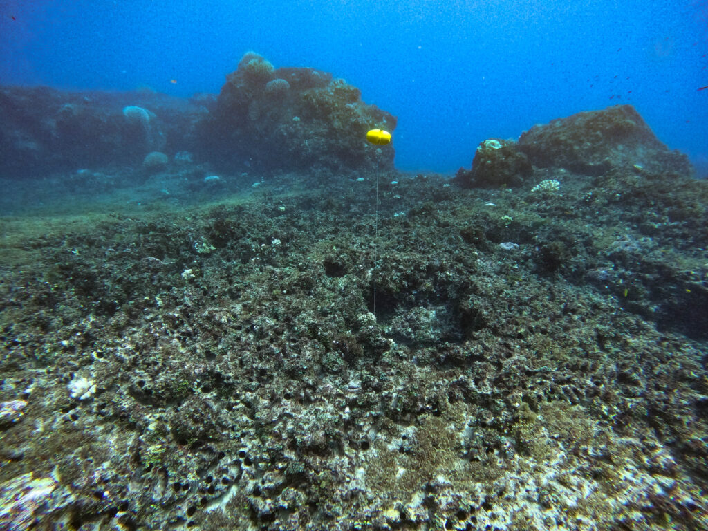
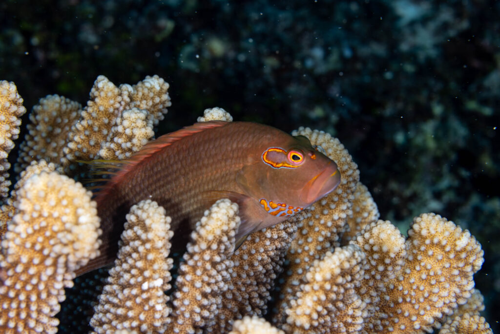
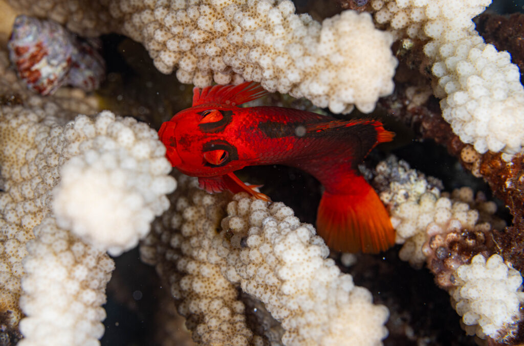
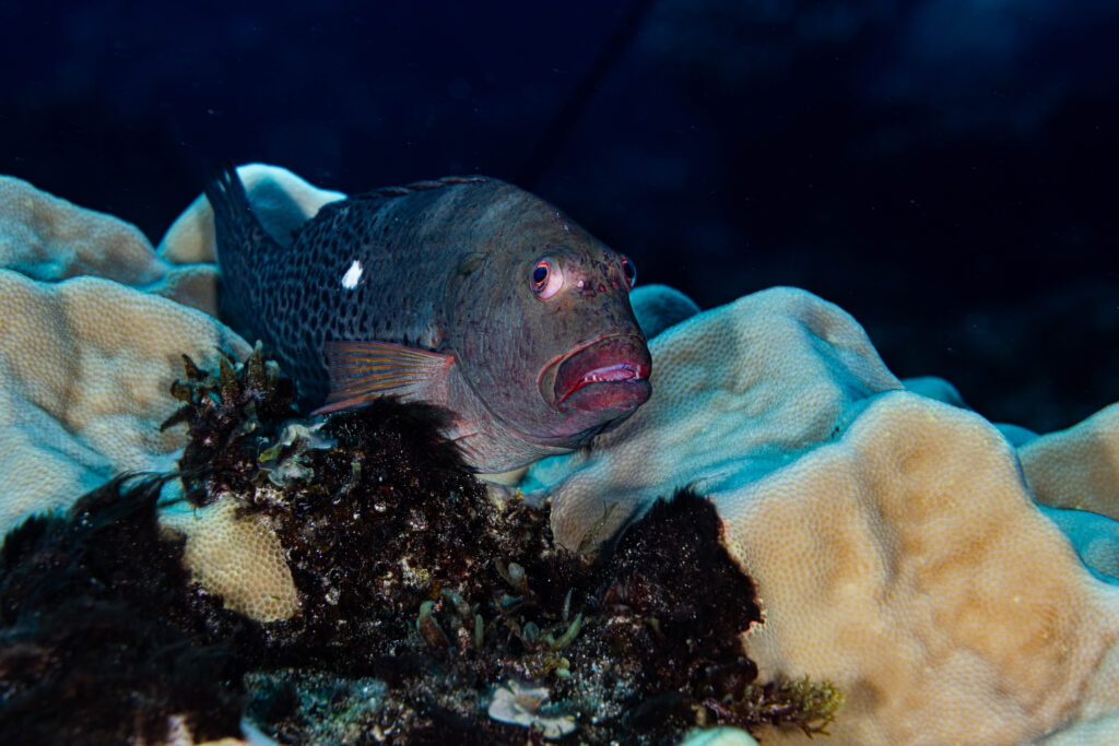
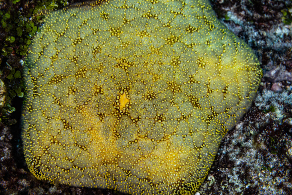
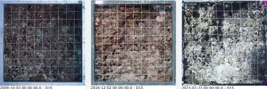
We met with the organization, The International Research Station CRIOBE in Mo’orea, and were briefed on their ongoing project to monitor the fish and coral life in and around French Polynesia. The international sites include countries such as Pitcairn, Samoa, Tonga and Cook’s Islands. They have devices installed on the sea bottom at each site, which allow them to monitor the same site over time. Every other year, they visit their research sites to perform fish counts as well as photographing the corals.
More about the project and specifically the Pitcairn research site can be read on CRIOBE’s web page for the SNO Corail project.
We received a permit from the Governor of Pitcairn to perform marine scientific research with our vessel within their marine protected area. With everything in order, we started to prepare our trip. We picked up the marine scientist from CRIOBE, who flew in from Tahiti, at the airport, and as we had a good weather window, we set sail towards Pitcairn that same day.
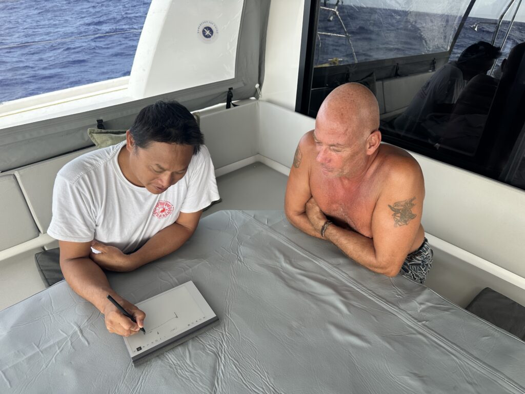
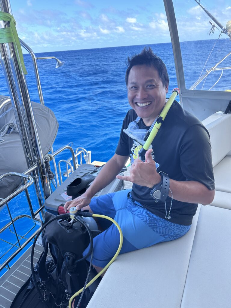
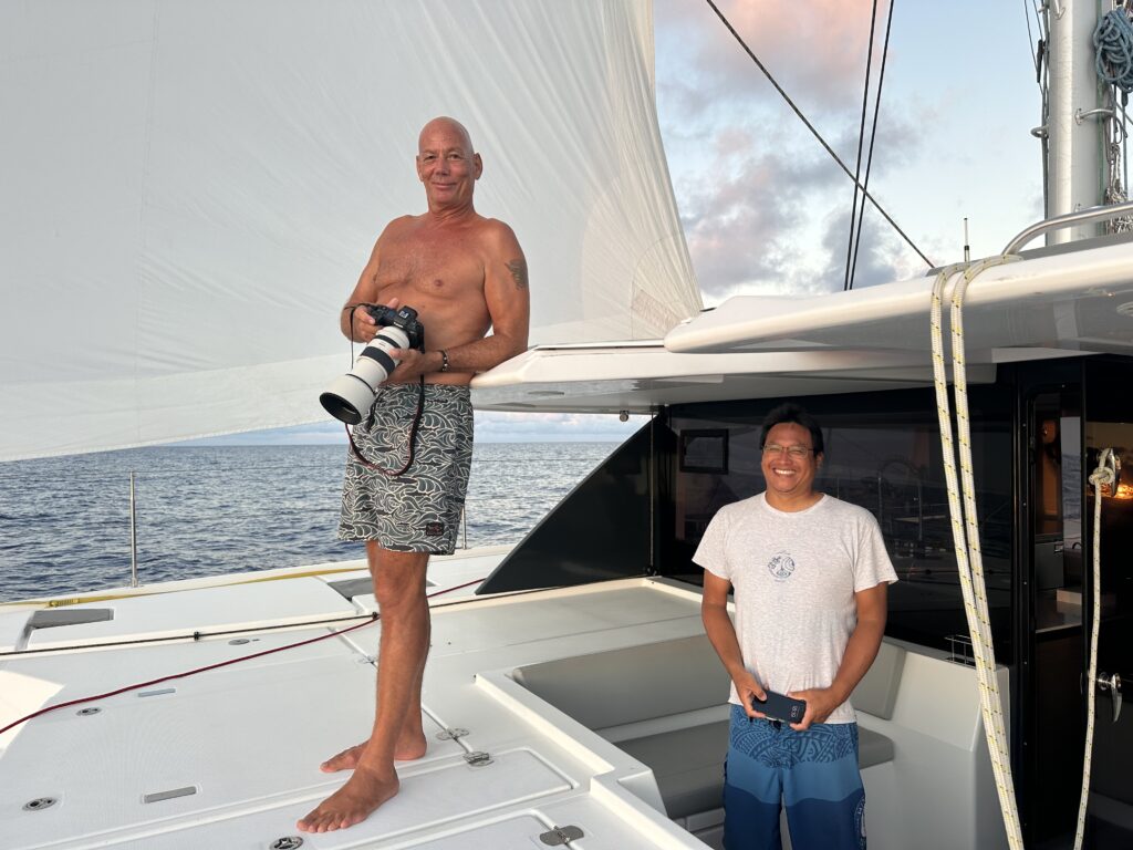
The marine scientist we had onboard for the expedition to Pitcairn, was Gilles Siu. He is native to Tahiti, and has worked on marine conservancy for 15 years. He is also a mathematician, just like the captain. We truly enjoyed his company, as well as his vast knowledge of marine conservation. We both learned a lot by having him onboard!
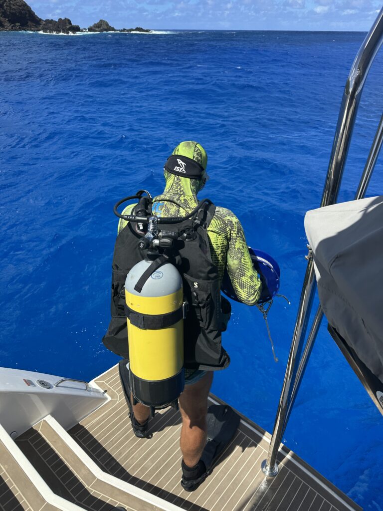
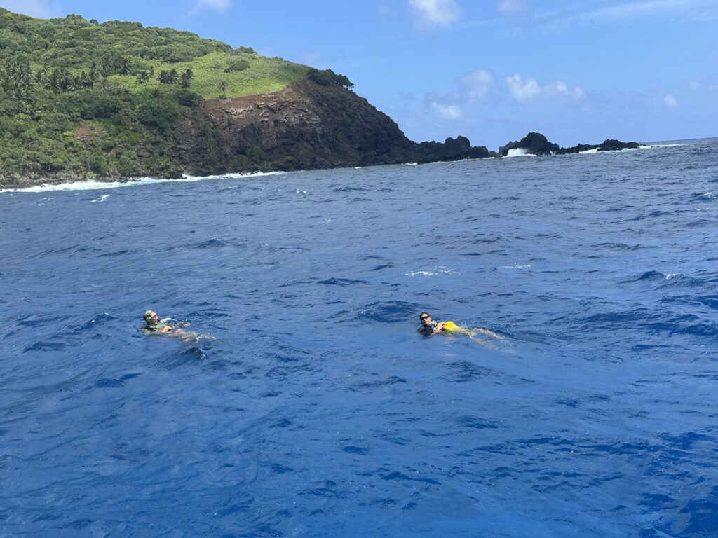
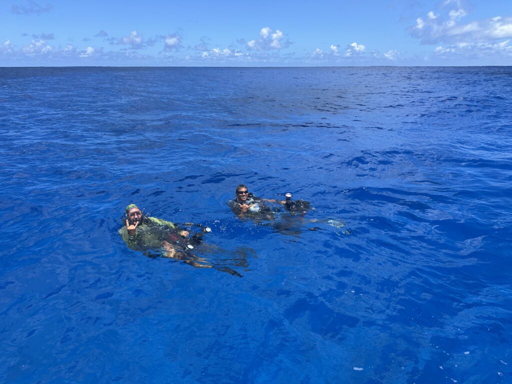
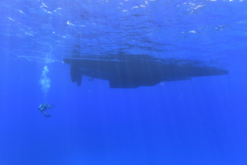
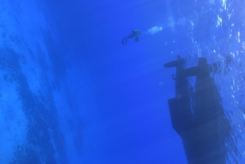
The sail to Pitcairn went well, and after we checked into the country, we moved from Bounty Bay, where the main town is, to the western side, Tedside, where the research site is located just a few hundred meters off the shore.
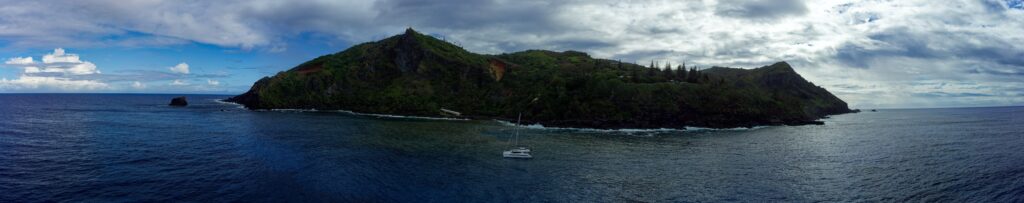
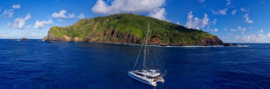
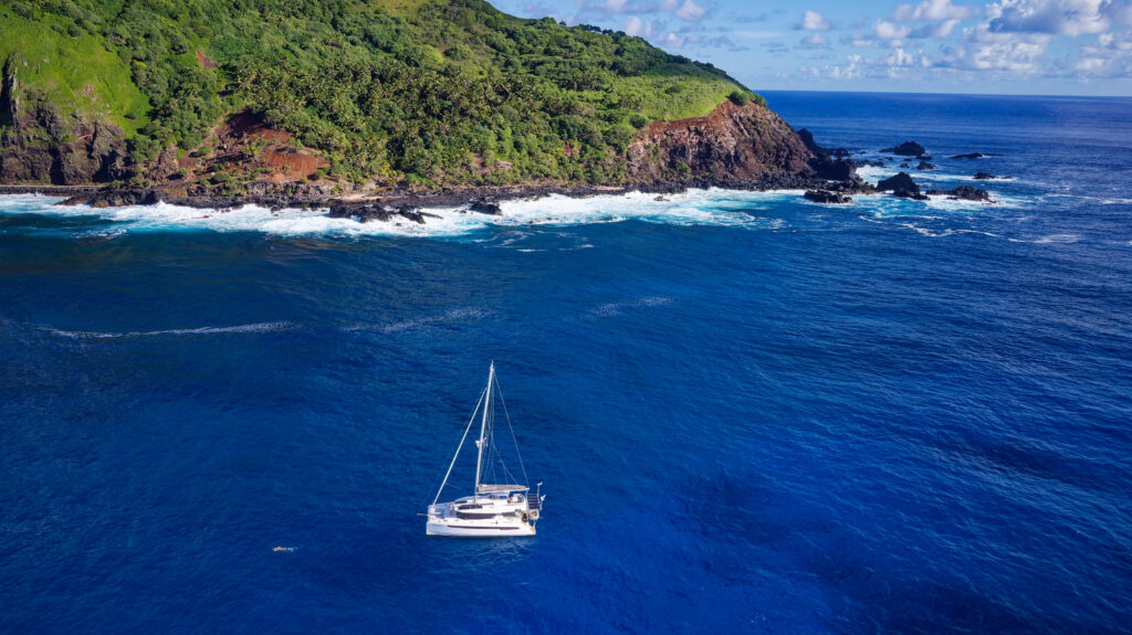
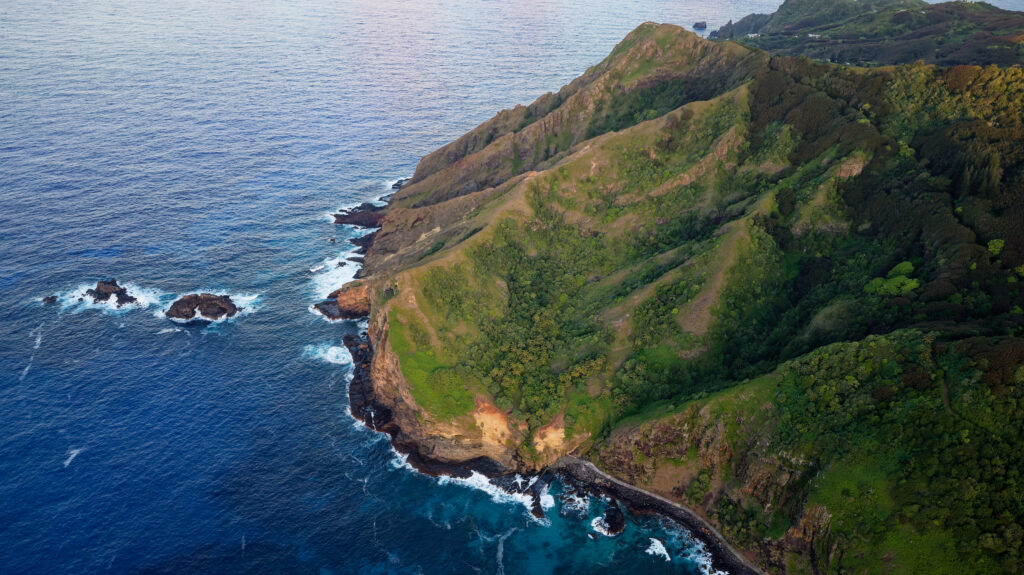
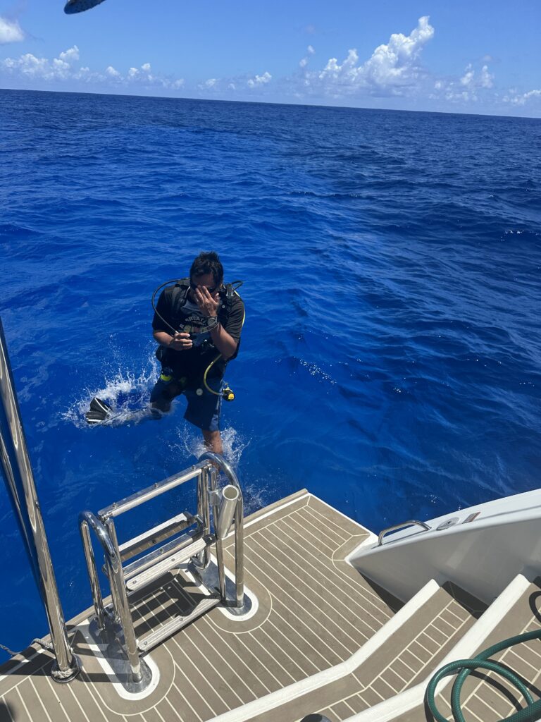
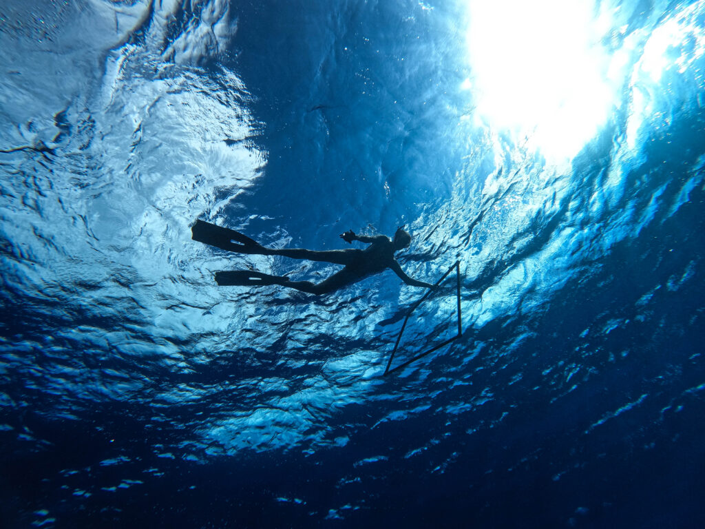
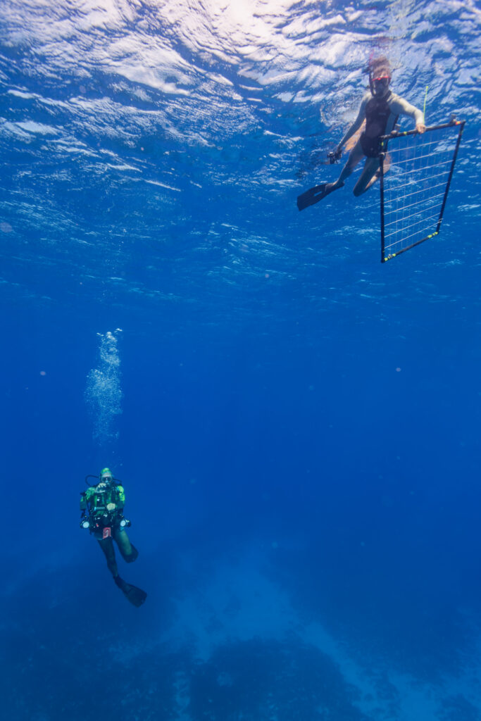
As the images show, we did not have much protection from the ocean. The swell came in directly from the west, and we had waves coming in from the north east, so we were in a fairly messy location. Due to this, we could not launch the dinghy, and the guys had to swim the 100 meters over to the research site.
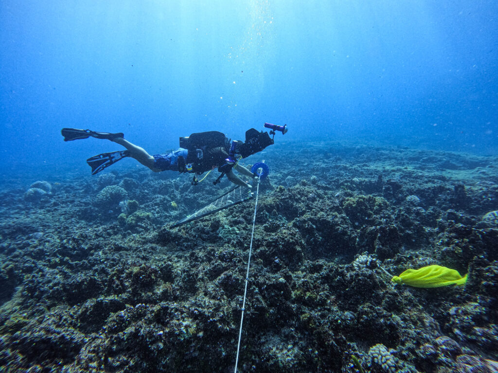
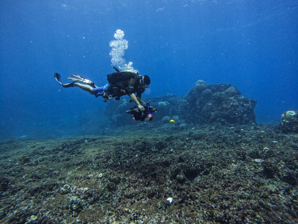
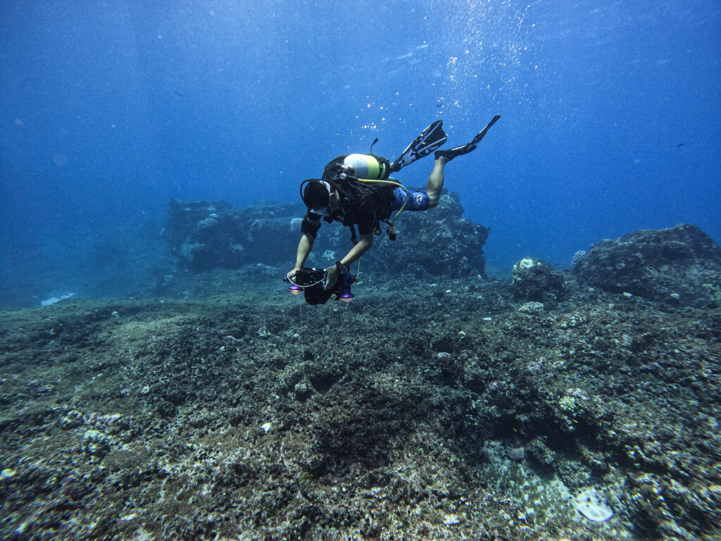
The captain was the support diver for the total of four research dives which needed to be done. The first two dives were to count the fish at the site.
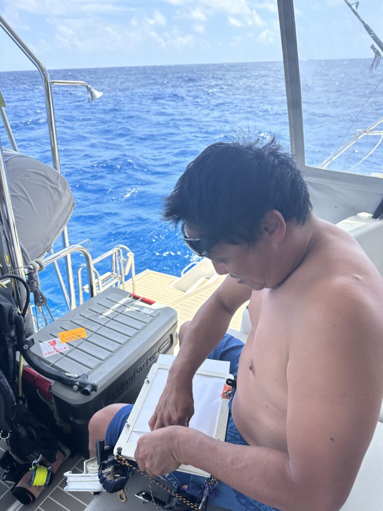
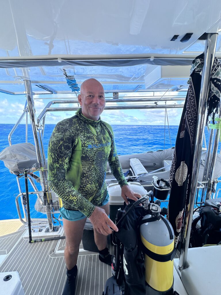
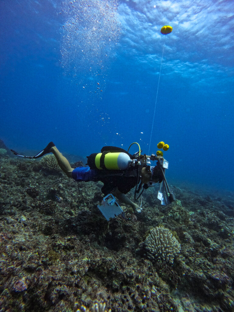
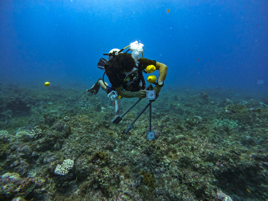
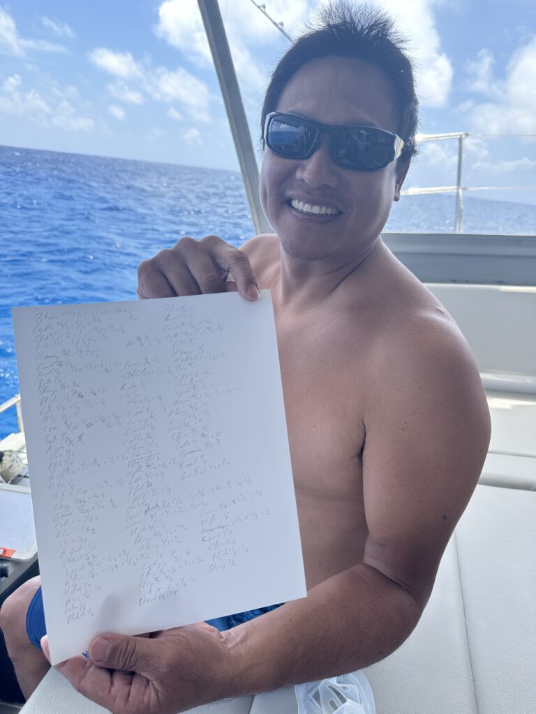
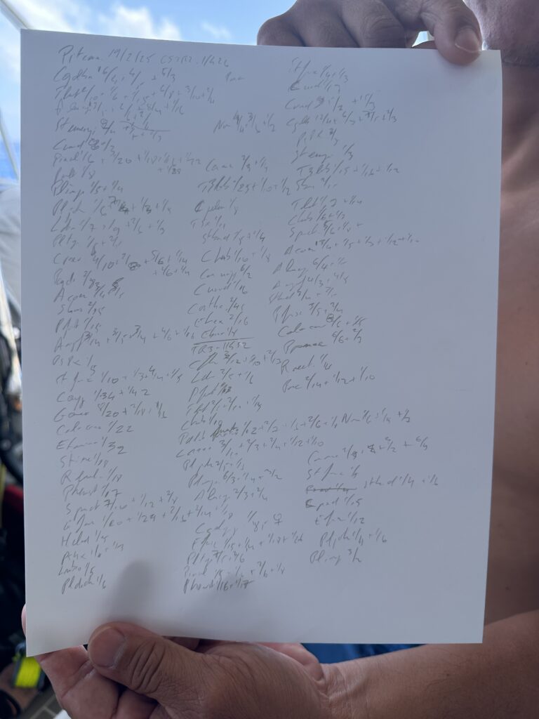
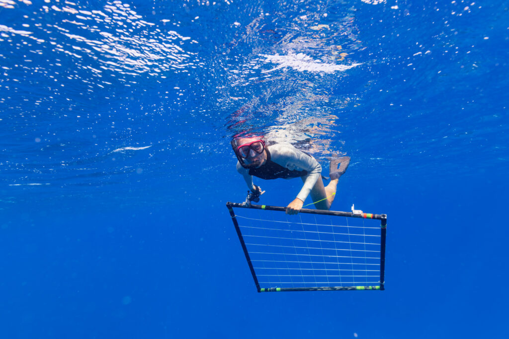
The swell came down on the second day, which made it possible to do two dives that day. One fish counting dive, and one coral monitoring. The coral monitoring demands quite a lot of equipment in the water, so the admiral, who was surface support, assisted with getting some of the gear over to the site.
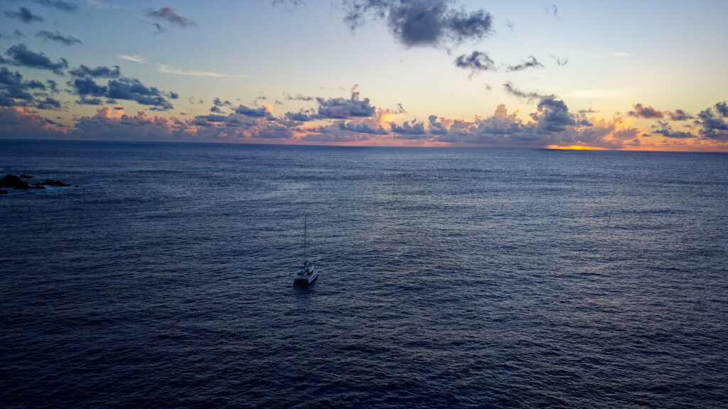
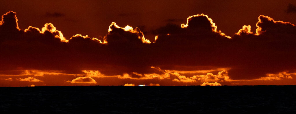
The project was complete after four dives over three days. We endured 2.5-3 meter waves in the anchorage, which is the most we have ever seen. We enjoyed the last night and the last sunset together, and were a little proud of the achievement of completing all of the research dives in such challenging conditions.
We enjoyed so much to have Gilles onboard with us. We learned a lot, and this experience has definitely made us looking forward to more research expeditions in the future! We spent the last two days exploring Pitcairn together, before we headed back to Gambier.