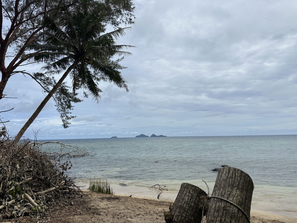
One of the things we really looked forward to in Gambier, was the possibility to hike one day and snorkel by lovely motus the next. Here in Gambier you can do both, as the archipelago has a combination of hilly and lush islands with white sandy and palm clad motus (islets).
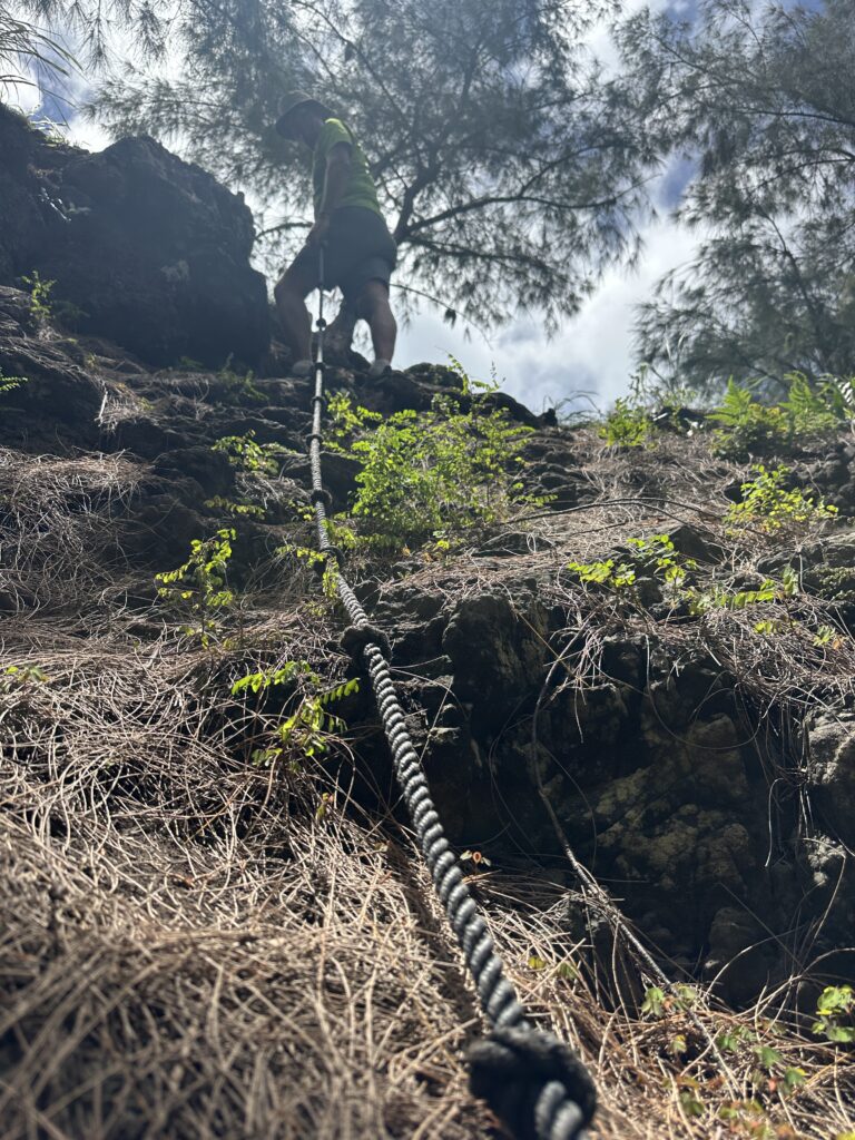
The biggest island of Gambier, Mangareva, has two peaks that are visible from quite a distance, Mount Duff (441 meters) and Mount Mokoto (423 meters). The hike to each of them takes about 2 hours from town. One can also combine both peaks in one hike, which supposedly takes 4.5 hours.
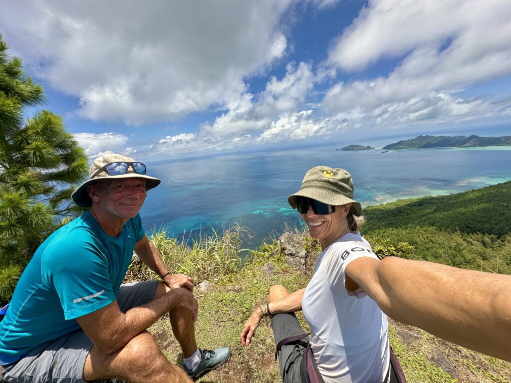
We hiked Mount Duff in beautiful weather, and the views from the peak were really quite astonishing. We could see the full archipelago and had a full 360 degrees view.
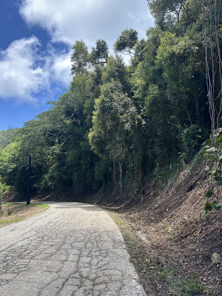
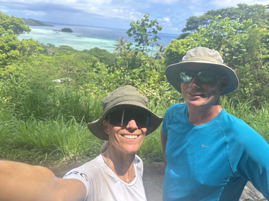
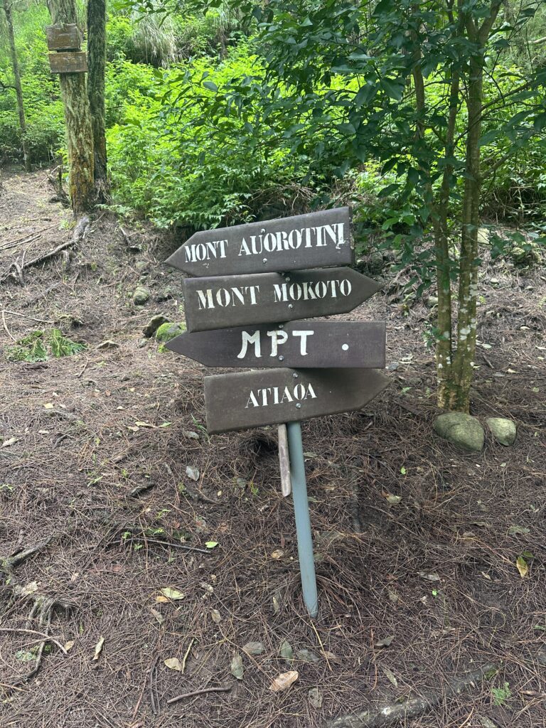
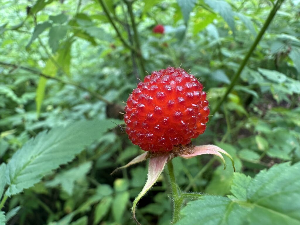
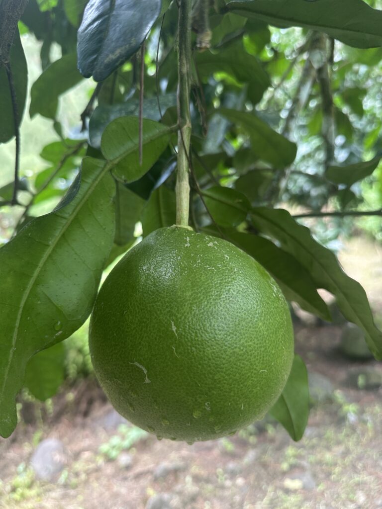
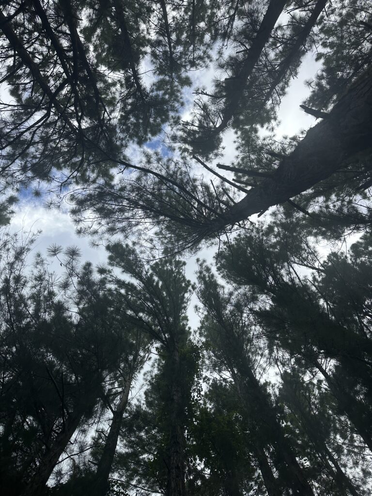
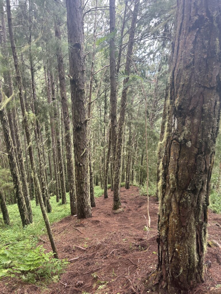
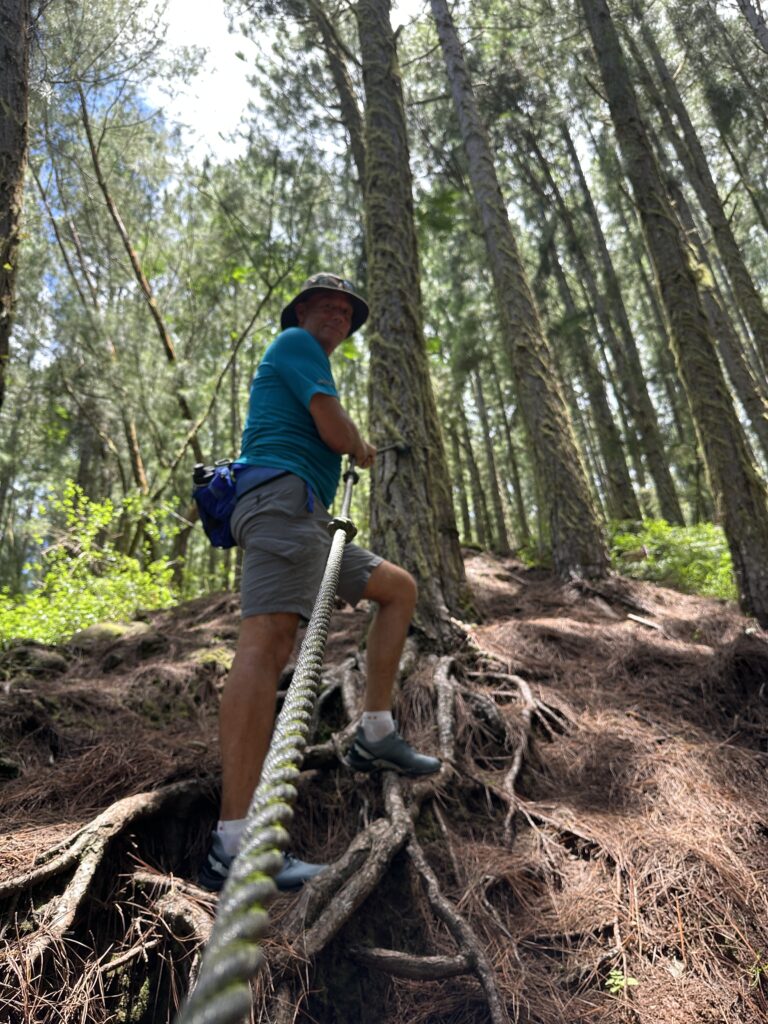
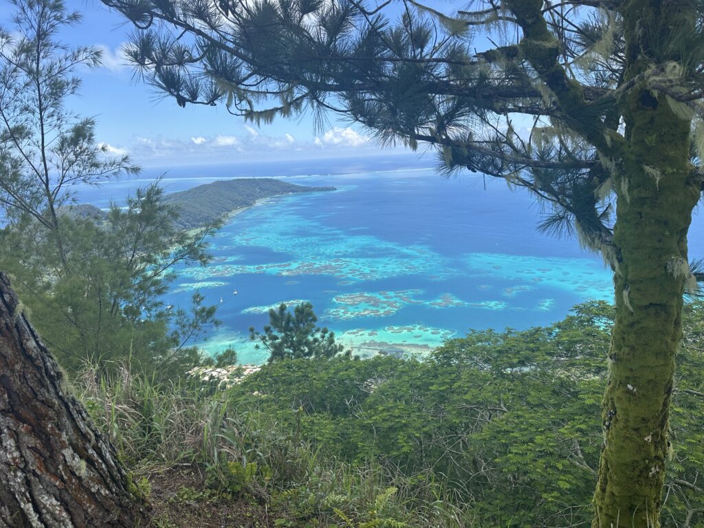
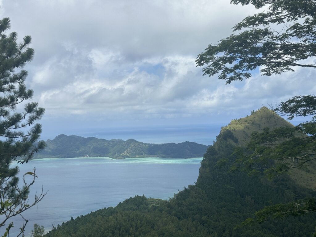
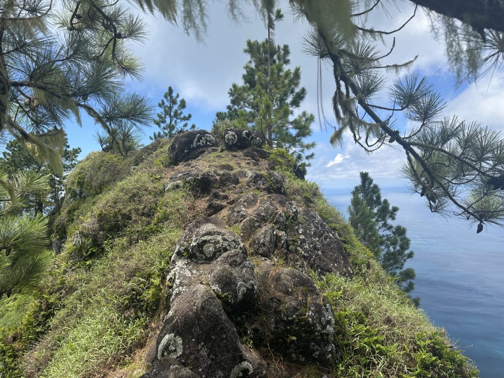
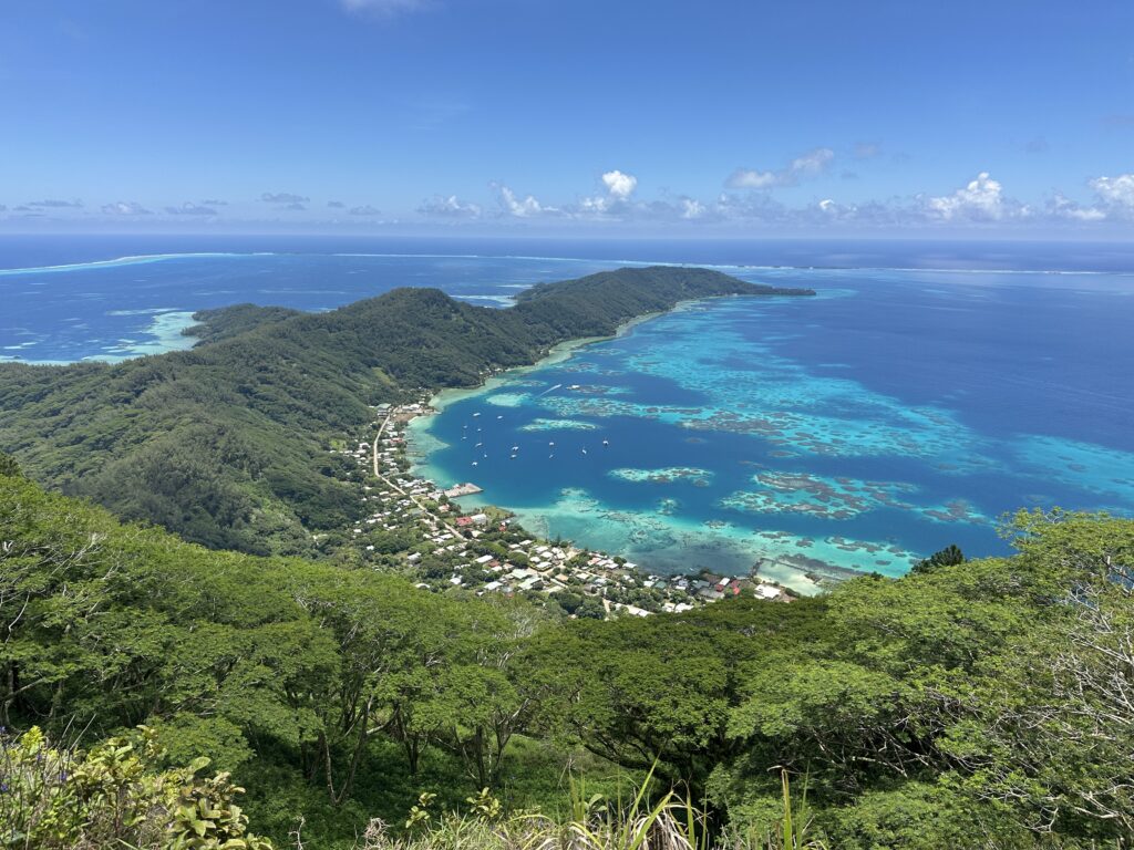
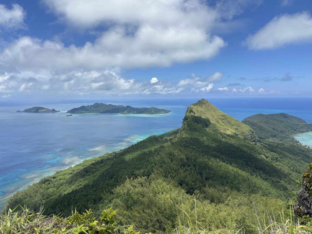
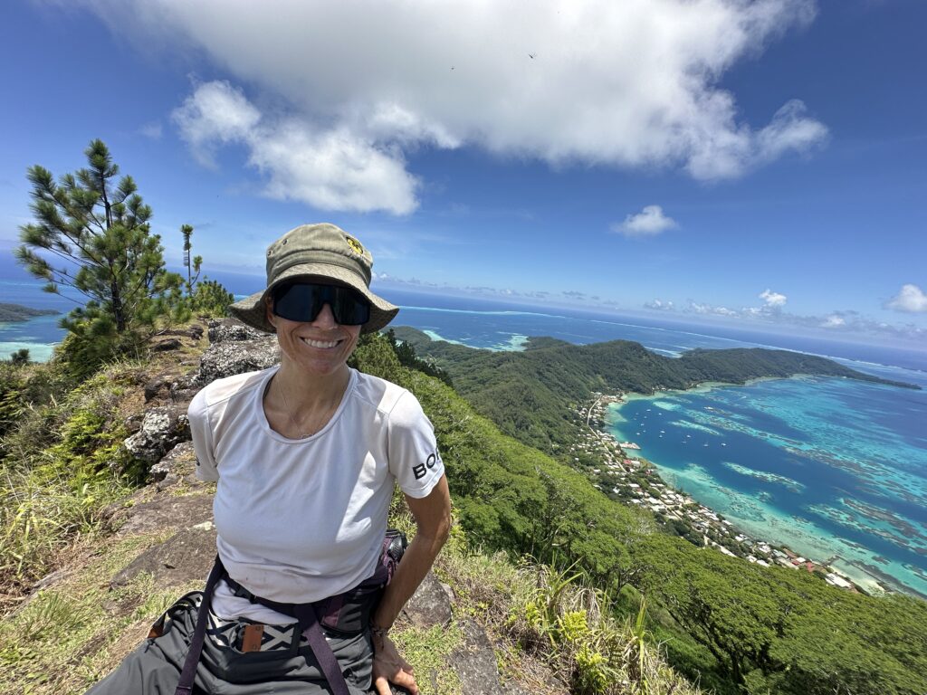
Besides the awesome peak trails, there are several other trails on Mangareva. There is a ridge running in the middle of the island, splitting the West and East sides. This was the first trail we tried right after we arrived. A total of 1.5 hour hike, taking us through a pine forest, and providing great views of the village, anchorage, and both sides of the island.
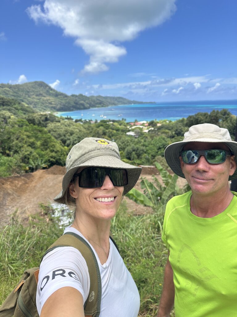
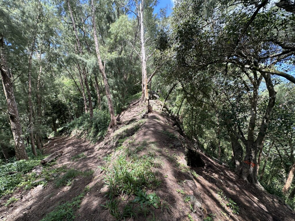
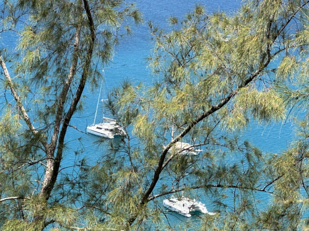
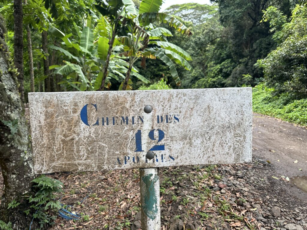
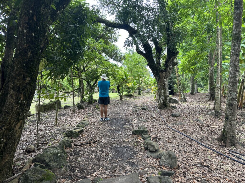
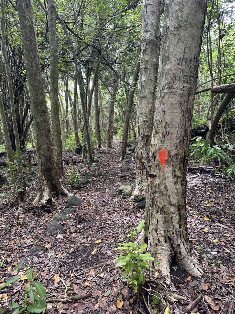
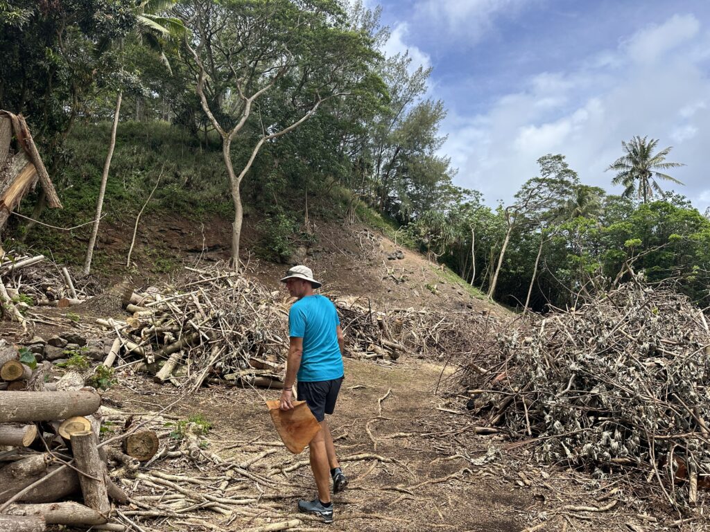
There is also a trial, The Trail of the 12 Apostles, that took us by the waters on the Southern most side of the island. We found little information about this trail online and locally, and were not really prepared that it was as long as it was. We ended up turning around after about an hour into the hike. We later found out that this trail connects with the trail system of the two peaks. This means we would have spent something like 4 hours on this hike, if we had not turned. As we had little water and no food with us, it was probably a wise decision.
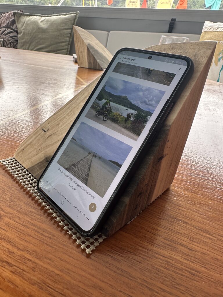
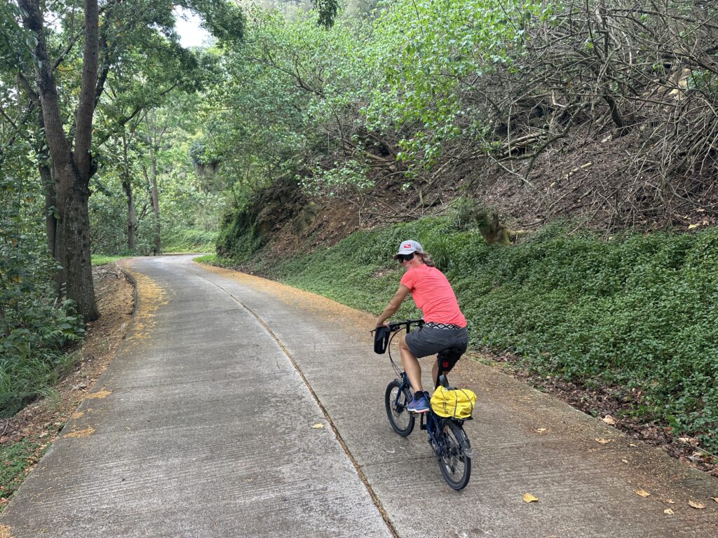
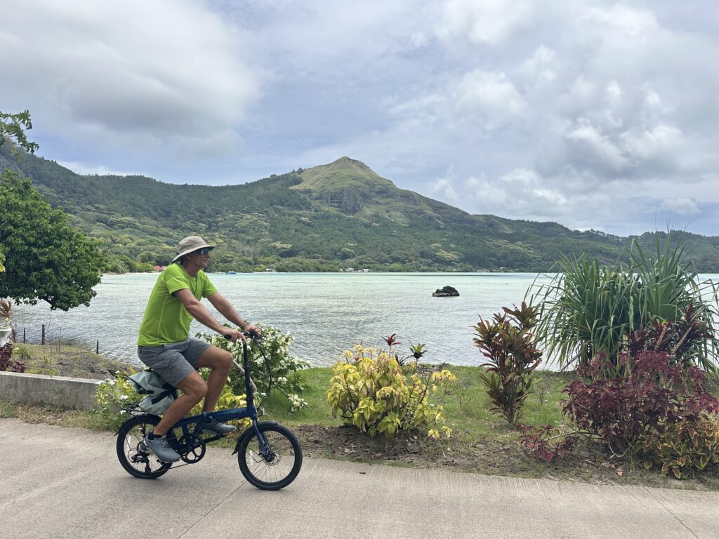
We have two bikes onboard, and we also enjoyed doing a circumnavigation of the island on them. We discovered that there are several small villages along the coastline on the Western side of Mangareva, as well as an abundance of pearl farms. The circumnavigation took us almost 3 hours, with a few stops here and there.
We have yet to hike the second to highest peak, Mount Mokoto, and are also looking forward to hiking more trails on the other islands. Lots more to explore!
